|
|
|
Climate and Snow Research
|
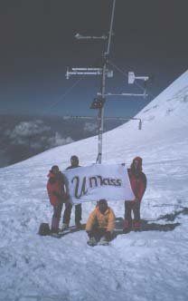 |
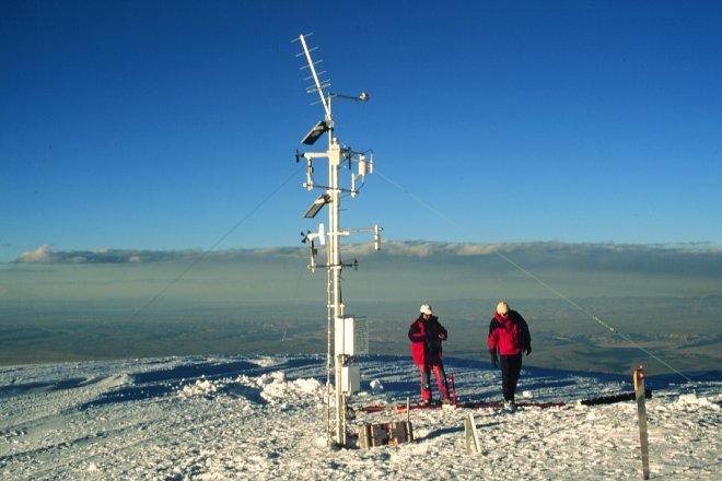
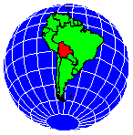
Summary - In October 1996, a satellite-linked weather station (AWS) was established at the summit of Nevado Sajama by reseachers from the Geosciences Department at the University of Massachusetts. Sajama is an inactive volcano, rising from the Altiplano to the west of Lake Titicaca, the highest peak in Bolivia (6,542 m; 18°06' S and 68°53' W). A second station was installed on Nevado Illimani in July 1997 (6,265 m; 16°39' S and 67°47' W), in the Eastern Andean Cordillera -- on the western margin of the Amazon Basin. These are believed to be the highest satellite-linked weather stations in the world.
Icecaps mantle both summits, upon which the stations are situated. Snowfall during the austral summer (i.e. Dec. - Feb.) accumulates on the icecaps, which the stations record. We are measuring and sampling this annual accumulation increment, and analyzing the samples in collaboration with researchers at Ohio State University. By measuring atmospheric conditions during and between snowfall events, the geochemistry of each resultant snowpack layer can be understood in the context of climate. The 'big-picture' objective is to improve the calibration of geochemical variations within tropical ice cores.
This website provides information about all aspects of the research project, ranging from scientific details and data to the excitement of climbing the mountains. Links are also provided to additional sources of information.
Website Organization - The buttons in the banner at the top of this and every main page correspond to the following sections:
| Science | Project overview, science objectives, and first results. |
| AWS Details | Technical details of the weather station instrumentation. |
| Reports & News | Annual field reports, archive of near-real time updates from the 1997 expedition, and press coverage. |
| Thanks! | Supporters and equipment sponsors. |
| Climbing | Brief information about getting up Sajama & Illimani. |
| Images & Maps | Want to see more? |
| Data | Weather on the summits: monthly graphs of selected variables. |
| Links | An on-going list, organized by categories. |
| Check what's NEW! |
![]()
Document maintained by Doug Hardy (dhardy@geo.umass.edu)
Last updated: 10 October 1998
http://www.geo.umass.edu/climate/bolivia.html