 |
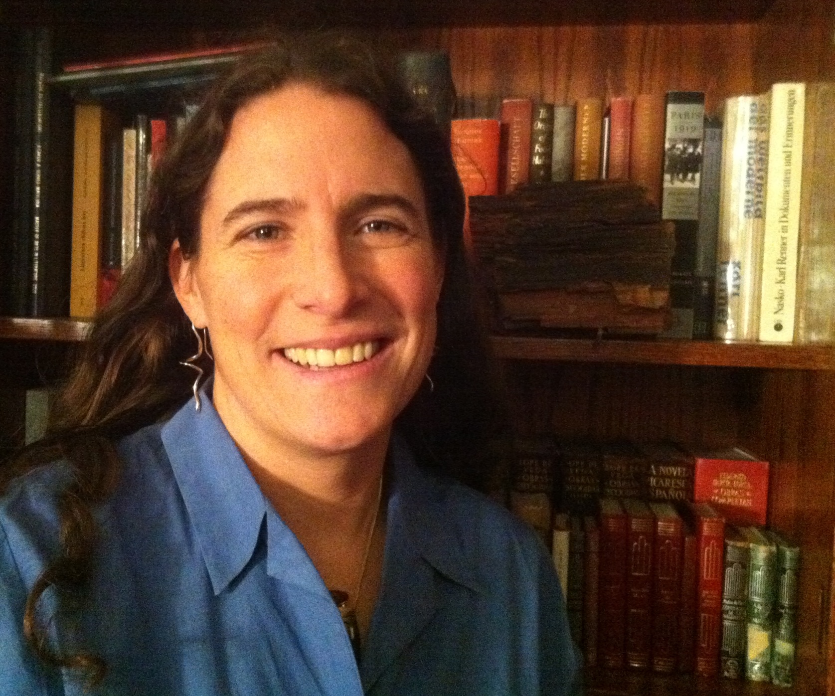
Christine Hatch PhD 2007, University of California, Santa Cruz hydrogeology, |
|||
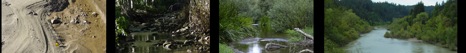
Surface water and groundwater are increasingly viewed as a single resource. Interesting processes and transitions occur at interfaces between streams (surface water) and underground reservoirs (groundwater aquifers), some of which can be tracked using heat as a tracer (including Distributed Temperature Sensing: DTS, or fiber-optic cables). When water moves between these reservoirs, there are wide-ranging effects on biological communities, water resources and water quantity and quality. I strive to understand these systems and to educating others about how they function so that together we may effectively preserve and protect our most basic and precious natural resource: water. As anthropogenic forcings produce now inevitable changes in our climate, I hope to quantify the effects of these changes on our water resources to help us prepare for a safe and sustainable future. Follow this link for more detail about my Research interests. |
||||
Teaching |
||||
SPRING 2012
|
Reading the Landscape NRC 297RL & GEO-SCI 297RL A course that focuses on mapping tools, technologies and skills, applied to the geological, ecological and human landscapes. 3 credits. MOODLE LINK to Reading the Landscape Tu Th 4:00 pm - 5:15 pm Holdsworth Hall Room 202 |
|||
| Major Credit: Required course for Natural Resources Conservation majors (all concentrations) NRC-297RL, elective credit by permission for Geoscience majors GEO-SCI 297RL.
Featuring: Guest lectures from diverse practitioners of "Landscape Science" from multiple disciplines across UMass campus. You will learn: To use topographic maps, a compass, Geographic Positioning System (GPS) units; to make [geologic/ habitat/ other] maps; to interpret aerial photographs and remotely sensed data; to understand the uses of geographic information systems (GIS), and to make sense of these technologies across space and time. |
What makes the landscape? How do you know it? Many processes operate on wildly different scales that inform the way the surface of our planet looks. At the largest scale, we will talk about Earth's active geology, major continental features such as mountain ranges and volcanoes. Landscapes eroded and changed by wind, water, ice (and humans!) each have a distinctive signature. We'll also look at water and energy factors affecting the formation of deserts, grasslands, and forests. Get trained to examine and document natural processes and human-caused features with a variety of technologies, learning how to identify them, how to read and make maps, how to use a compass, and concepts of scale in space and time. |
|||
 |
 |
 |
||
|
||||
FALL 2011 |
Intro to Environmental Distributed Temperature Sensing GEO-SCI 597C Advanced undergraduate/ beginning graduate, 1-credit seminar. The temperature of standard fiber optic cables can be read as finely as every 0.25m, and lengths up to 30 km as frequently as every second with resolution of down to 0.01 °C using Distributed Temperature Sensing (DTS). Sounds great? It is, but you can't get all of these specs at the same time! So what are the opportunities and limitations of this technology? This 1-credit course presents an overview of the technique, including discussion of applications to date, fiber and instrument selection, fiber placement, fiber repair, data acquisition and analysis. The course will cover the basic principals of optical physics employed by DTS and conclude with a hands-on group class project requiring students to design an experiment, install a cable, and work with DTS data, to be presented in informal presentations in the final class meeting. Students will handle the equipment, and observe demonstrations of all the operations required to employ this technique. The goal of this class is to provide enough information for students to accurately identify the potential role of this method in their applied research. |
|||
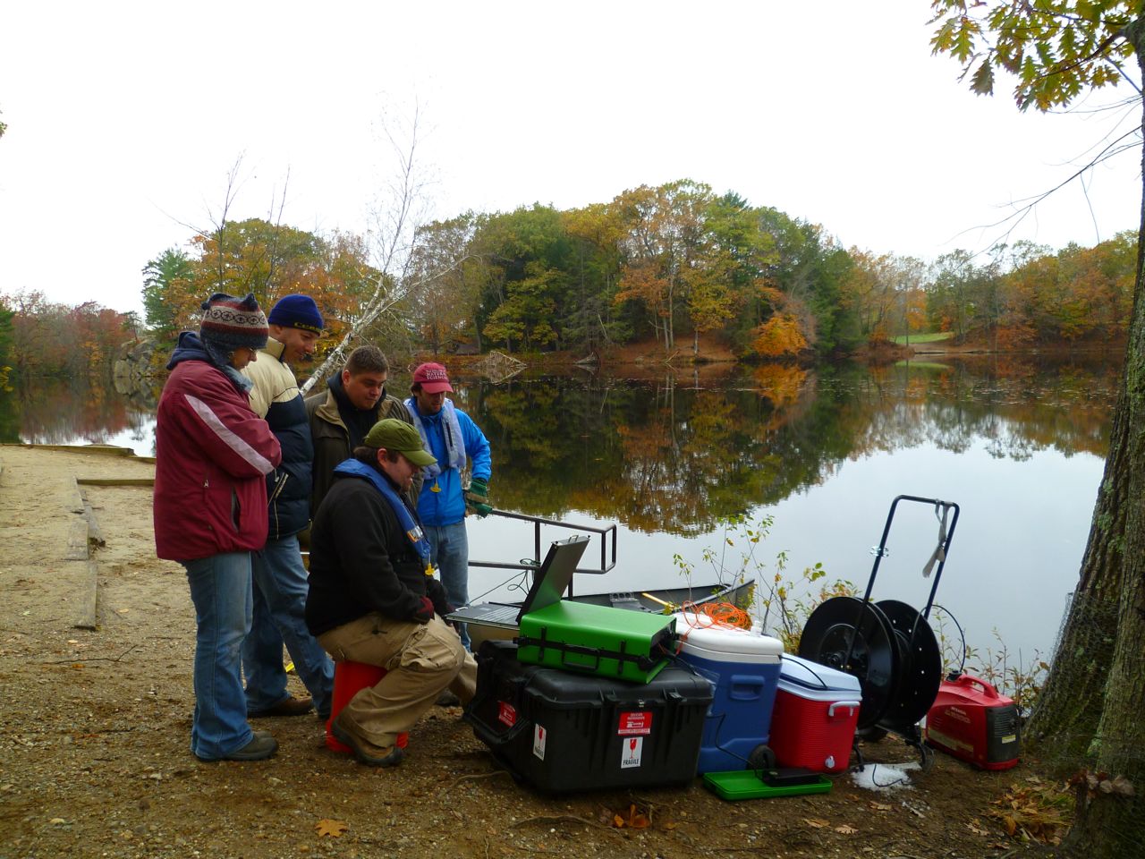
Puffer's Pond Field DTS Deployment 2011-OCT-29 |
||||
COMING SOON... |
Surface Water - Groundwater Interactions |
|||
Ecohydrology |
||||