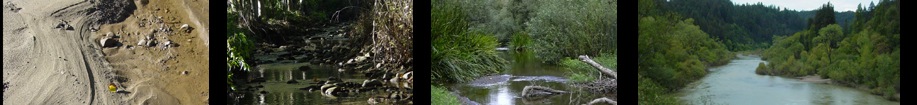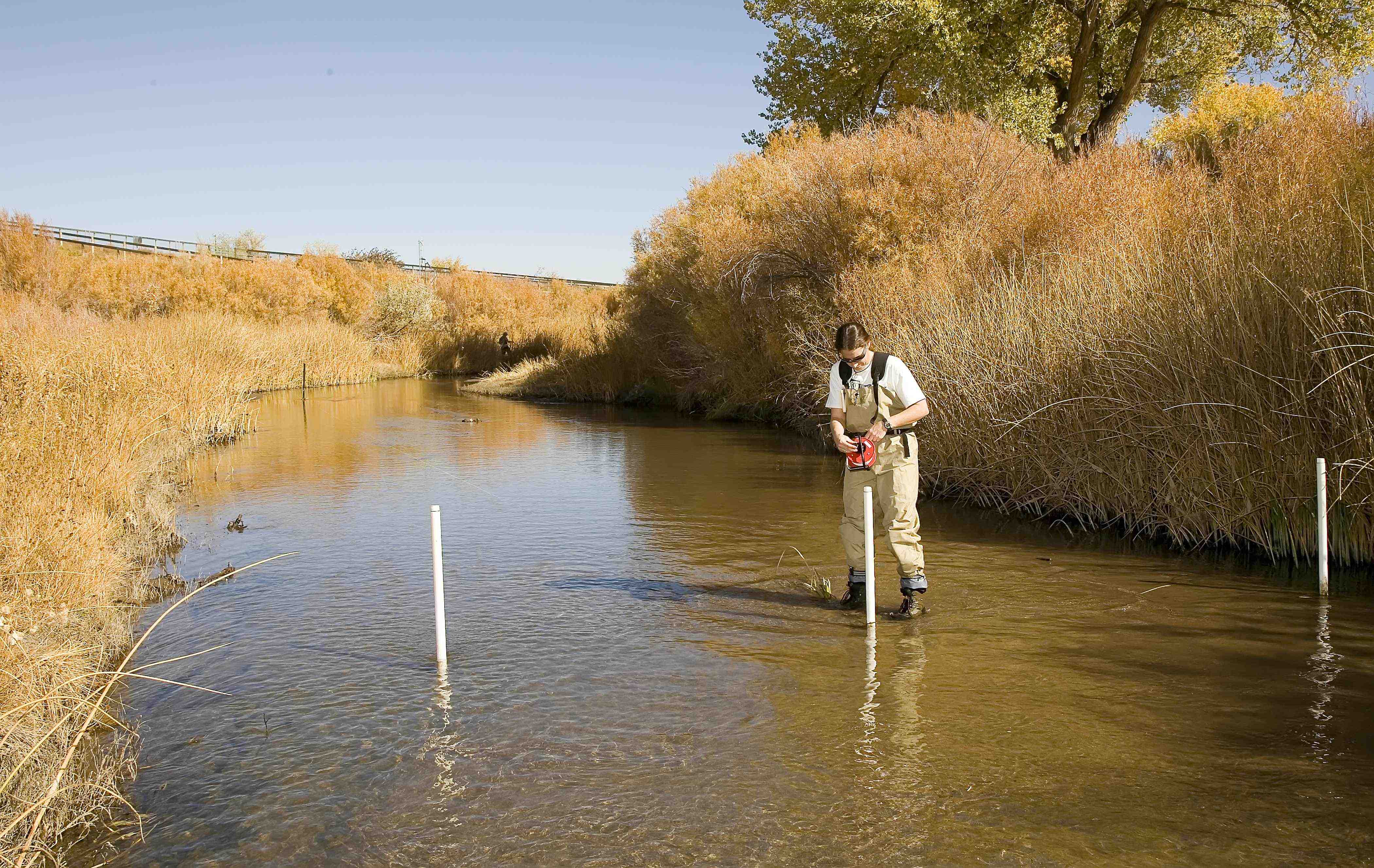
Walker River near Wabuska, NV (J. Byrne)
Research
| During the last decade, surface water and groundwater have increasingly been viewed as a single resource (principles described in detail in the 1998 USGS circular by Winter et al.). Quantity and quality of surface water reservoirs can affect the volumes and chemistry of groundwater, and vice versa. Interactions between these reservoirs are crucial to understanding the ecosystems that depend on them, the processes governing hydrologic systems, and effective resource assessment and management practices. My research interests lie in the quantification of these interactions, and investigations of interfaces between disciplines encapsulated by hydrologic and geologic systems and ecosystems. |
|
Surface Water – Groundwater Interactions: Streambed Seepage
|
Of the quantities used to estimate the basin water balance, recharge is among the most difficult to measure accurately. The geologic substrate plays a significant role in determining where water may enter the stream (gaining stream) or disappear into the subsurface (losing stream, recharge). Where streams and associated alluvium deposits cut through less permeable sediments, water may pass relatively unimpeded into underlying aquifers, providing a “fast pathway” for recharge. There are multiple methods for quantifying streambed seepage, including differential discharge gaging, streambed piezometers, seepage meters, tracer techniques, and heat as a tracer. Interaction between surface waters and groundwater can be accurately quantified using heat as a tracer. These methods take advantage of the naturally occurring thermal signal present in most surface water systems, and it uses both well-established and new methods to interpret the results. Detailed knowledge of inflows and outflows in stream systems is crucial to understanding the hydrology of river basins and accurate assessment and management of water resources therein. Each individual method for estimating streambed seepage has characteristic spatial and temporal scales, assumptions, uncertainties, costs, and limitations. However, when used in combination, multiple methods provide even greater insight in space, time, or properties of hydrologic systems than can be derived from any single approach in isolation.
Distributed Temperature Sensing in the Environment
|
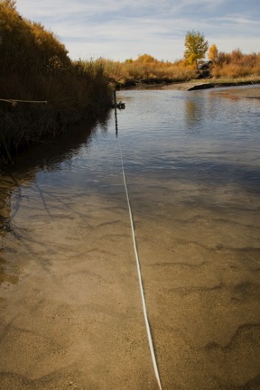
Traditionally, streambed thermal data are either point measurements of long duration (individual temperature loggers or profilers inserted into the streambed), or snapshots in time of great spatial extent (remote sensing from planes or satellites). Applications of Raman Spectra temperature sensing, or Distributed Temperature Sensing (DTS) have steadily increased in number and diversity in recent years (see the Center for Transformative Environmental Monitoring Programs at www.ctemps.org for recent publications and more information). DTS systems provide the opportunity to monitor at a high level of precision and accuracy and at high spatial and temporal frequencies, water, air and media temperatures in a variety of systems. However, to date, there have been relatively few environmental or scientific applications of DTS.An optical-fiber cable is installed in the environment, and a laser pulse is fired down the cable. Returning Raman-spectra light refracted at specific frequencies that are (anti-Stokes) and are not (Stokes) sensitive to changes in temperature are recorded. After calibration to locations of known temperature along the cable, temperatures can be resolved to ~0.1°C over each meter of fiber for its entire length at the desired time interval (minimum of 10 s). During my postdoctoral research at the University of Nevada, Reno Dr. Scott Tyler and I (as have many, many others at a growing number of institutions and experimental environments) have applied this new technology to a variety of environmental and hydrologic problems including: Deep groundwater flows, geothermal reservoir behavior, soil heat flux, soil moisture distribution, limnology and lake mixing, cave air circulation, surface water - groundwater interactions (hyporheic flow), biochemical monitoring, detection of acid mine drainage, dam and canal seepage, evaporation and turbulent heat transport in the atmosphere, groundwater inflow in streams, leachate signatures from landfills, snow hydrology, thermal refugia, meadow hydrology and more! |
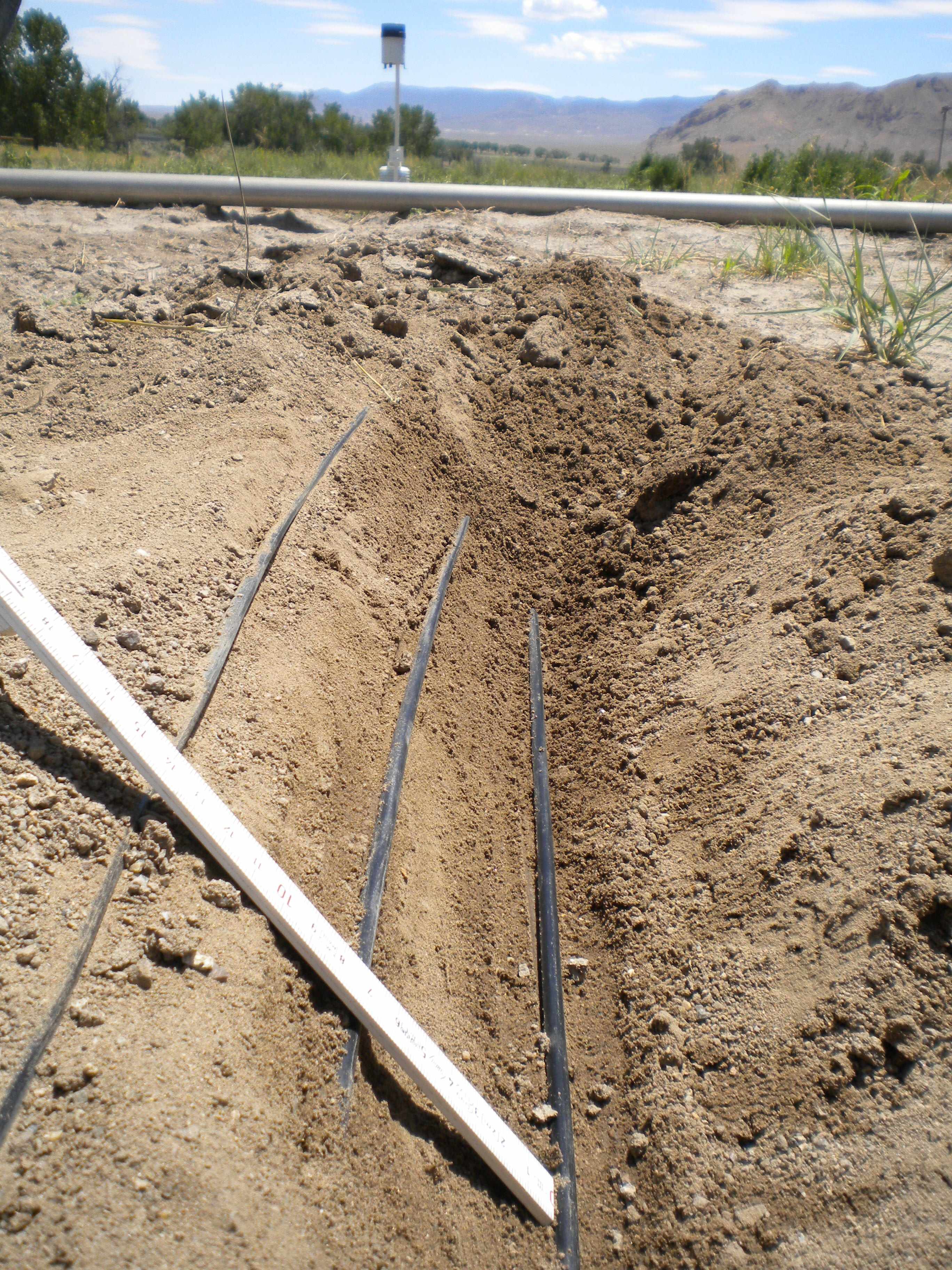 Fiber-optic cables in soil near Yerrington, NV (C. Hatch) Fiber-optic cables in soil near Yerrington, NV (C. Hatch) |
Ecohydrology
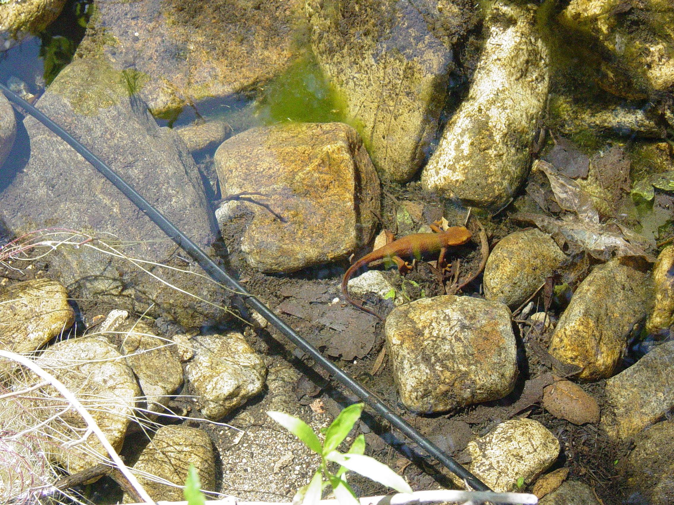
| In the years since Dr. Rodriguez-Iturbe of Princeton University defined the field of ecohydrology, it has been attracting significant attention at the same time that many institutions have steered away from a divided disciplinary approach in favor of a more inclusive earth systems approach to science. In future research, I wish to explore topics that transcend traditionally separated disciplines in order to better characterize and understand integrated systems of hydrogeology, ecosystems and habitats. It is my belief that much interesting science occurs at the interfaces and intersections between processes, environments, and disciplines. I am seeking new means to quantify and explore links between ecology and hydrology. Plants, vertebrates and invertebrates that depend on water quantities and quality in specific ecosystems are all affected by changes in hydrologic cycles and anthropomorphic alterations to their environments. One tool that may be readily applied for ecological assessment is DTS. Its unparalleled ability to offer both spatial and temporal resolution opens a door for unique habitat assessment, quantification of thermal refugia and measurement of phenomena and places that were too difficult or sensitive to access. |
|
Water Resources and Climate Change
|
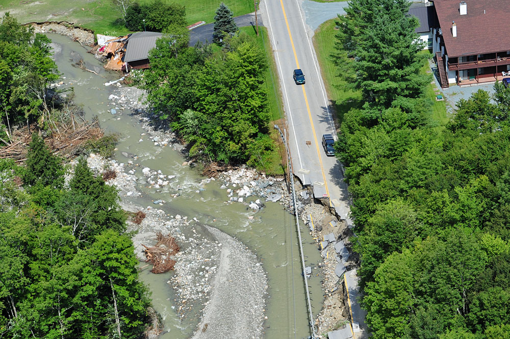
In New England, climate change predictions include warmer temperatures, more rain, less snow, and more extreme climate events in the next 50 years. With already aging infrastructure and a very high density of waterway crossings throughout the region, assessing appropriate design criteria for future climate scenarios and stormflows is of crucial importance. Many questions remain to be answered: What is the new “hundred-year storm” and how certain are we? How best to prioritize infrastructure renewal projects? Can we map landslide vulnerability throughout Massachusetts? What are the “action thresholds” for climate and what should be done at each? How can we educate cities, towns and citizens about what climate change might mean for them? Once the information is out, how can we help? |
back to Hatch Home