|
|
Sajama Images
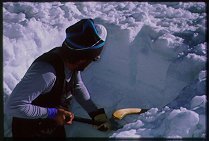 | Sajama summit snowpit, May 1998. The stratigraphy of 1997-98 accumulation is faintly visible in the enlarged image.
|
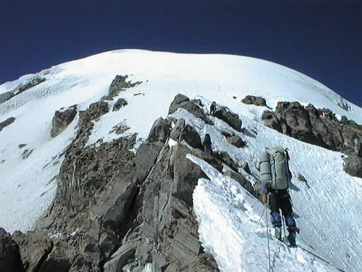
 | Climbing Sajama, April 1998. Looking down toward Campo Alto, just below the ridge leading to the ice cap margin (elevation approx. 6000 m).
|
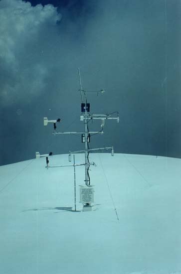
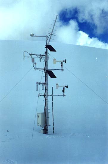
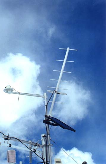
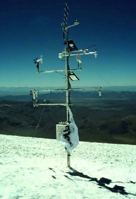
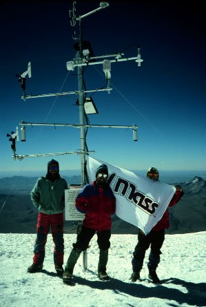
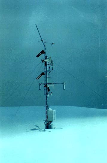 | AWS at summit of Sajama, 7 February 1998. To this date in the 1997-98 wet season, 1.25m of snow had accumulated. Image kindly supplied by mountain guide Carlos Escobar, of Nuevos Horizontes.
|
 | AWS at summit of Sajama, 7 February 1998. See above for details.
|
 | AWS at summit of Sajama, 7 February 1998. See above for details.
|
 | AWS at summit of Sajama, 7 February 1998. See above for details.
|
 | AWS at summit of Sajama, 7 February 1998. See above for details.
|
 | AWS at summit of Sajama, 7 February 1998. See above for details.
|
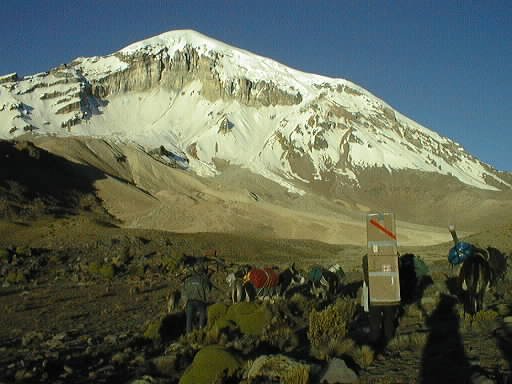
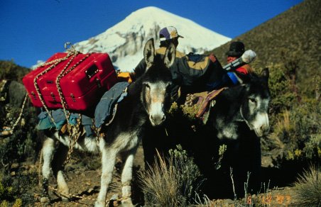 | Mules departing for Base Camp, June 1997. Sajama is visible in the background. Hardigg cases provided the electronic equipment with excellant protection against dust and moisture.
|
 | Approaching Base Camp, June 1997. Cardboard box contains a spare GOES antenna.
|
 | Sajama Base Camp, June 1997. Elevation 4,650 m. Note large pile of white boxes at right, used to transport sections of the ice core down the mountain.
|
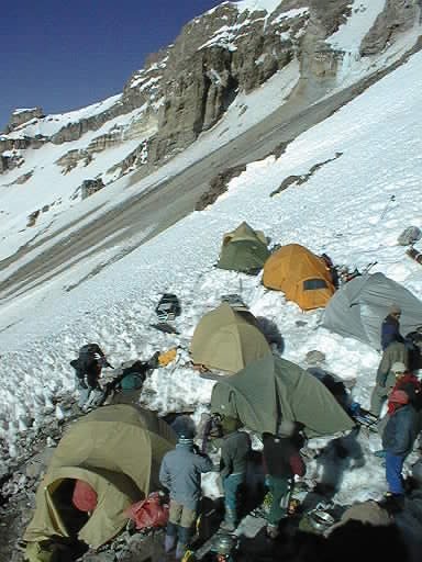 | Sajama high camp ("Campo Alto"), June 1997. In April of 1998, at the end of the '97-98 accumulation season, no snow was present in this field of view!
|
 | Mathias Vuille climbing above Campo Alto, June 1997.
|
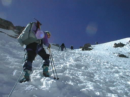
 | Ascending the ridge leading to the ice cap margin (elevation approx. 6000 m), June 1997. This is our favorite section of the climb!
|
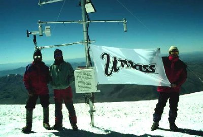
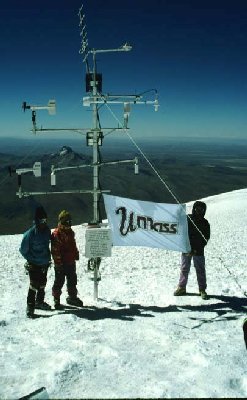
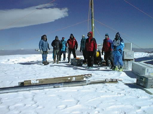 | Cold scientists at the Sajama summit drill site, June 1997.
|
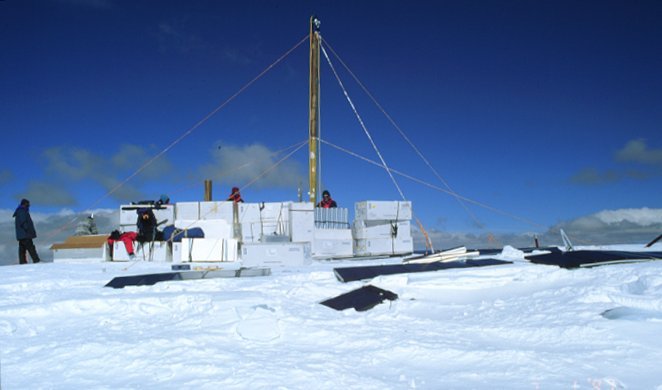 | Sajama summit drill site, June 1997. Note solar panels (horizontal) used to power drilling equipment.
|
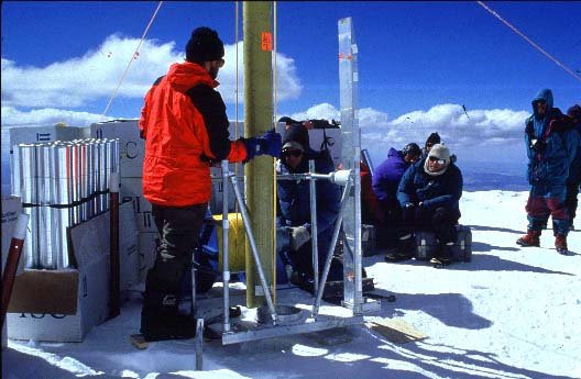 | Ace ice-core driller Vladimir Mikhalenko.
|
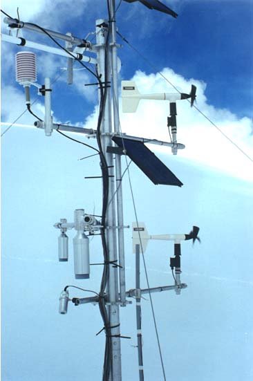
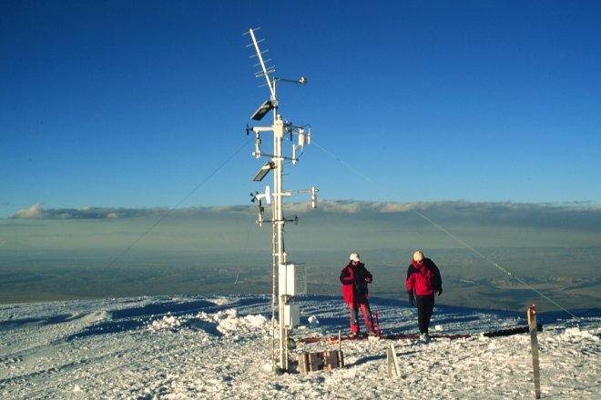 | Sajama AWS, July 1997.
|
 | Sajama AWS, July 1997.
|
 | Sajama Base Camp, October 1996. Following the initial installation.
|
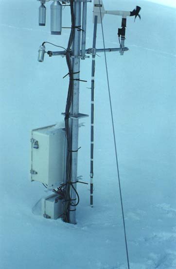
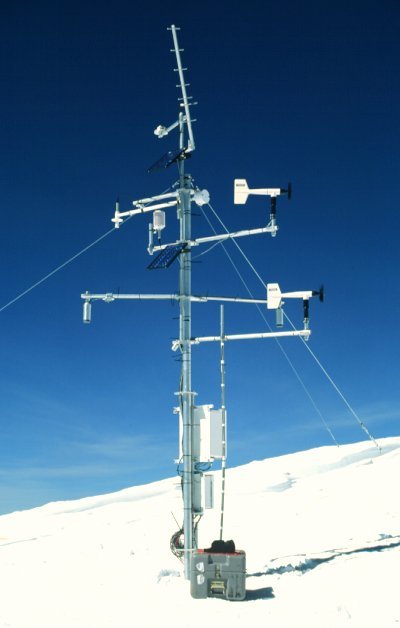
 | AWS at summit of Sajama, October 1996.
|
 | AWS at summit of Sajama, October 1996.
|
 | AWS at summit of Sajama, October 1996.
|
 | AWS at summit of Sajama, October 1996.
|
 | New snow on Sajama. This image was taken at the end of August 1993, a few days after a huge winter snowfall associated with a cut-off upper-level Low (16-20 August). The Altplano around Sajama received 30 cm of snow.
|
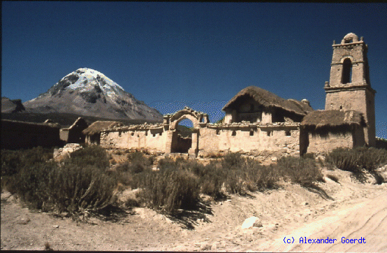 | Sajama as seen from the village. The church was constructed in 1886.
|
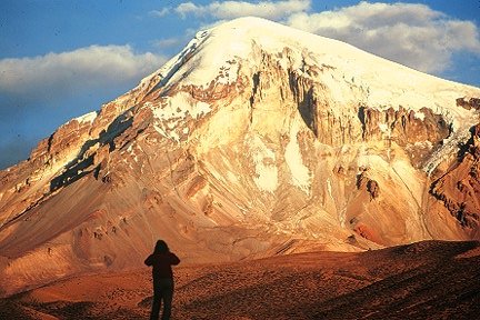 | Sajama from the West. Our route basically follows the near ridge on the left.
|
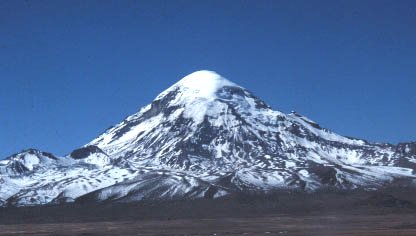
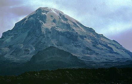 | Sajama from the South
|
![]()
| Return to UMass Bolivia |  |
Climate & Snow Home Page |
Document maintained by Doug Hardy (dhardy@geo.umass.edu)
Last updated: 3 October 1998
http://www.geo.umass.edu/climate/bolivia/sajimages.html