 Prototype
3D Geologic Map of the Marlborough Quadrangle
Prototype
3D Geologic Map of the Marlborough Quadrangle Prototype
3D Geologic Map of the Marlborough Quadrangle
Downloadable Files:
About the Map:
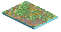
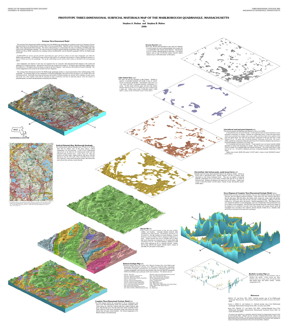
This map integrates well-drilling data with surficial geologic mapping and bedrock geology to produce a true three-dimensional model of the subsurface conditions within the Marlborough quadrangle, Massachusetts. The first component of this model is a map depicting a three-dimensional block diagram of the stratigraphic units that overlie the bedrock surface. The map also presents three-dimensional depictions of the individual stratigraphic units, their aerial extent and volumes.
In addition to the map, the supporting
grid files, database and documentation for the three-dimensional model are provided.
This three-dimensional model of the subsurface stratigraphy of the Marlborough
quadrangle provides a tool to visualize and explore the relationships of the
subsurface units to one another, to the underlying bedrock, and to the water
bearing fractures within the bedrock.
There are three immediate benefits of this three-dimensional model:
The consulting community and water managers can import these grid files into groundwater modeling software for numerical analysis. In addition, the three-dimensional model can better delineate ground water flows, areas of groundwater recharge, and aquifer interconnectedness. It will also help identify possible contaminant pathways and assist in the placement of ground water monitoring wells. The model can also be used to assist with the planning of major construction projects, assess the impacts from development, provide guidance for land use planning and smart growth initiatives. In total, a three-dimensional model of the subsurface provides critical geologic information for natural resource decision making.
Related Products:
webpage last updated 2/27/2008