|
Please
use IE browser for the proper picture display. |
|
|
My current research focuses on these following
topics. |
|
|
1.
Riverine carbon export from watershed, currently focusing on water carbon
measure using in situ spectral measurement and hyperspectral remote sensing
image.
(Collaborate with RF Chen, YQ Tian and BG Gardner in
Dept. of EEOS, UMass-Boston) |
|
|
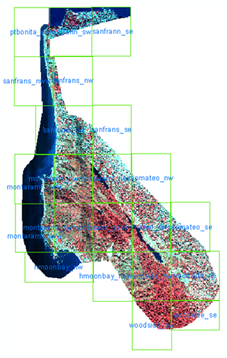
We
collect in situ underwater fluorescence data and above surface spectral data
in the Neponset River MA, Hudson River NY(including Passaic River, Hackensack
River, Raritan River, Newark Bay, New York Bay), and Mississippi River MS
(including Atchafalaya River, North Gulf). ASD Fieldspec and Oceanoptics Jaz are used for field spectral measurement. For coastal
study, we are interested in sensor with better spatial resolution compared to
regular ocean sensors, such as EO-1 Hyperion image. |
|
|
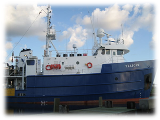
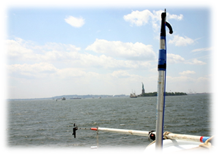
Aug 2007, AT and MS, on R/V Pelican |
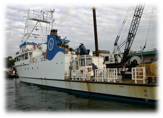
Aug 2010, Hudson, on R/V Sharp |
|
|
|
|
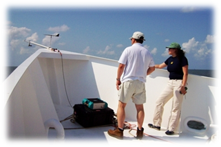
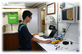
In situ spectroradiometer |
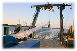
Towed EcoShuttle for
underwater fluorescence |
|
|
|
|
Lab in RV Pelican |
Above surface radiance and sky
irradiance |
|
|
|
|
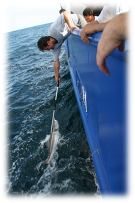
Caught a Fish |
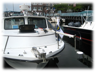
Access tributaries with RV Neritic
|
|
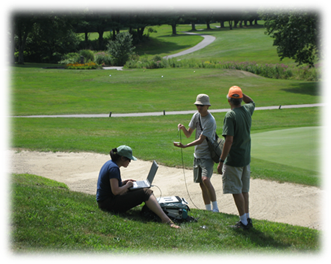
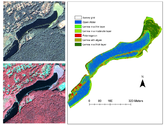
2.
Aquatic biomass monitoring and assessment from in situ spectral measurement
and high resolution satellite imagery. (Collaborate with Y Tian@UMB, M.
Zimmerman, C. Waldron@ USGS MA-RI Water Science Center, and S. Flint@ OAR )
|
|
|
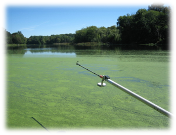
Impoundments with severe eutrophication in MA |
Collect bright spectra for atmospheric correction |
|
|
|
|
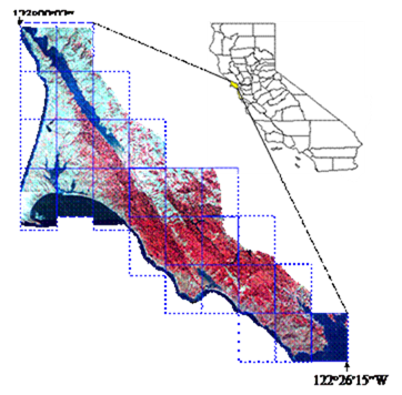
3.
Object-based classification and vegetation information (biophysical
parameters and vegetation species) extraction from high resolution and
hyperspectral remote sensing imagery. |
|
|
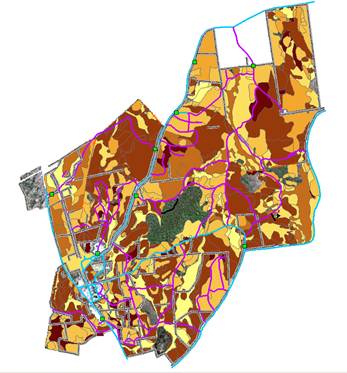
My research on the characterization of terrestrial
vegetation has been carried on since my Ph.D work about vegetation
classification using high spatial resolution remote sensing. In a collaborative project, we employed the
first spaceborne hyperspectral sensor (EO-1 Hyperion) image to extract forest
biophysical parameters, which are highly related to biomass. Recently, I collaborated with Prof.
Ruiliang Pu of the University of South Florida to apply this object-based
method for detailed land cover classification in a coastal urban environment
and the result is promising. |
|
|
|
|
|
4.
Greenhouse gas emission and soil respiration (Collaborate with Jim Tang @ Marine
Biology Lab, Woods Hole) |
|
|
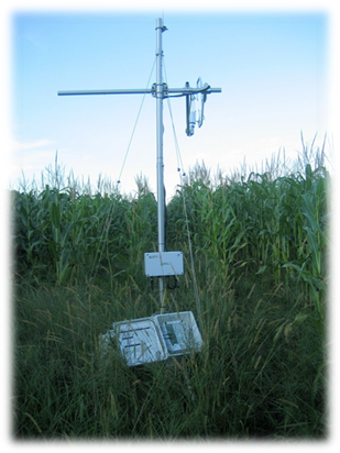
We set a gas analyzer in a corn field at UMass research
farm to monitor CO2 emission from farm land. In summer 2010, we
supervised three REU students measured soil respiration in Prospect Hill of
Harvard Forest. The sampling design and result interpolation is based on
vegetation type and soil type analysized in GIS. |
|
|
Infrared gas analyzer in Deerfield
|
Soil Respiration and Moisture in
Harvard Forest
|