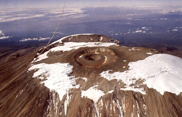
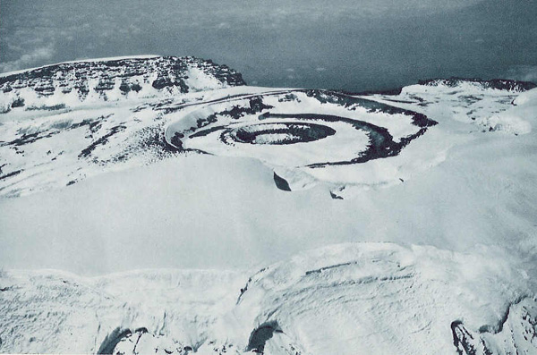
On the left is an image taken by Alan Root from a hot air balloon on 10 March 1974. This and other historical images can be found in: Hastenrath, S., 1984: The glaciers of equatorial East Africa. Solid Earth Sciences Library, D. Reidel Publishing Company, Dordrecht, 353 pp.
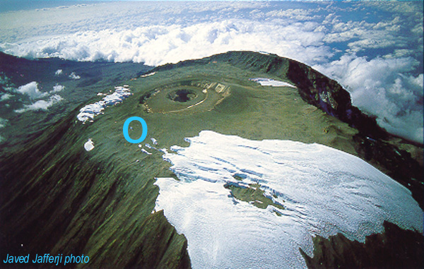
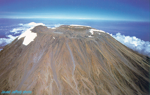
The right-hand image was taken in March or April of 2000 by Javed Jafferji, and used with permission. The perspective is from slightly around to the north.
The total area of Kibo covered by glaciers in 1976 was 4,171 km2 (as determined by Landsat MSS imagery; Hastenrath & Greischar, 1997), of which only 62% remained in 2000 (using aerial photography with GPS control; L.G. Thompson, 2001 AAAS meeting). Note particularly the ice loss between the northern and eastern icefields; earlier this century (e.g., 1930) these ice masses were connected. Retreat of the Furtwangler Glacier has also been dramatic.
The retreat of glaciers on Kilimanjaro, in Peru, and elsewhere around the world was the topic of a NPR Science Friday program in February 2001; in October 2002 the program discussed the ice core record reported in Science Mag. (v. 298, no. 5593) -- have a listen!
![]()
|
|
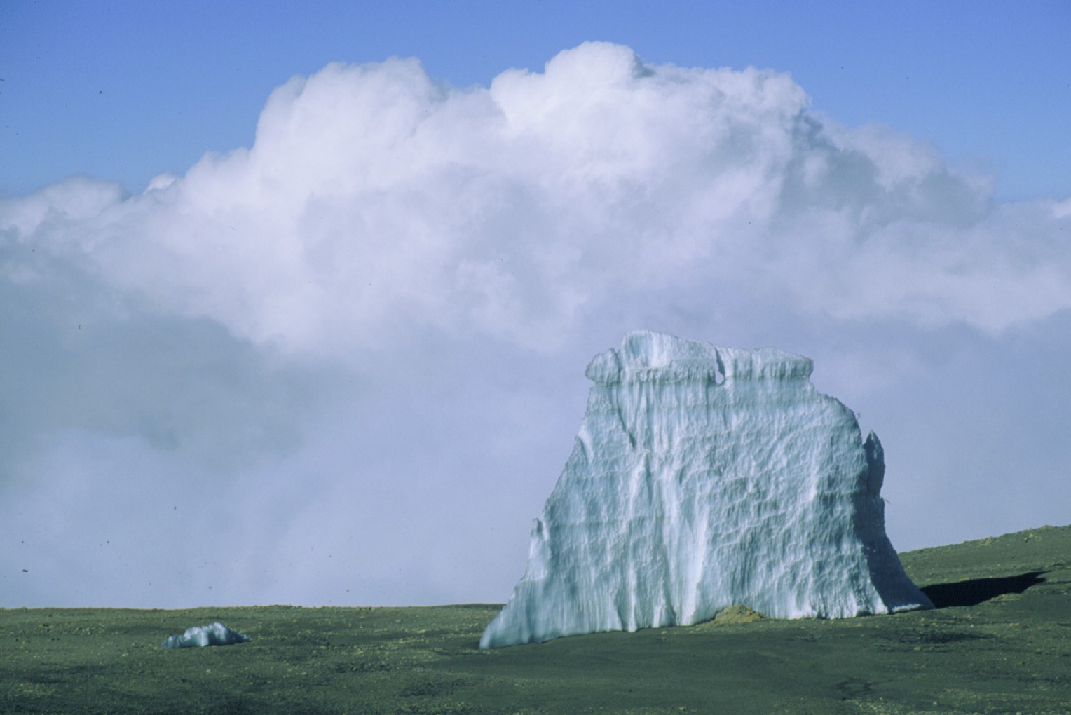
To illustrate the scale of Kibo's summit, the remnant block of ice shown below can also be seen within the blue circles on the 2 right-hand images (both by Javed Jafferji; used with permission).
|
|
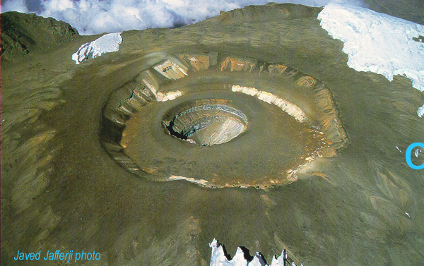
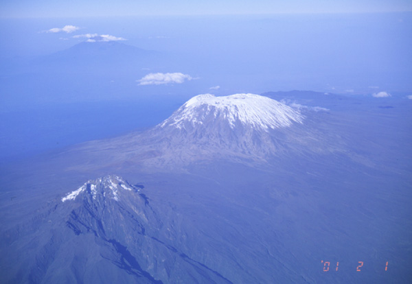
Here is an additional oblique view of Kibo in 2000 (also taken by Javed Jafferji); compare it to this snowy view on 1 Feb. 2001.