|
|
Climbing Sajama and Illimani

In addition to the narrative below, additional information can be found on our Reports and Images pages, and our Links page provides a few sources of information on high altitude physiology.
Any additional information or comments on climbing the mountains are welcome!
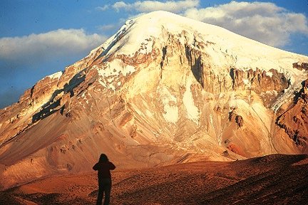
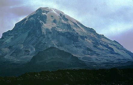
There is no particular season for climbing Sajama, though snowfall can be expected from October - April. Technically, the climb is relatively easy, but the glaciers covering the upper slopes of the volcano are severely crevassed and fairly steep. The usual routes stay on ridges which eventually lead to the icy summit, where there is no trace of any crater. Severe local storms, high winds and the altitude are the main obstacles to any ascent. The mountain was first attempted in 1927 when Joseph Prem soloed the north-west ridge to a height of 6200 m. Several attempts failed due to weather conditions until Prem and his partner Wilfrid Kuehm finally reached the summit of Sajama in August 1939 via the the much more difficult south-east ridge.
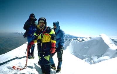
The following is an account from the 23 Peaks Expedition:
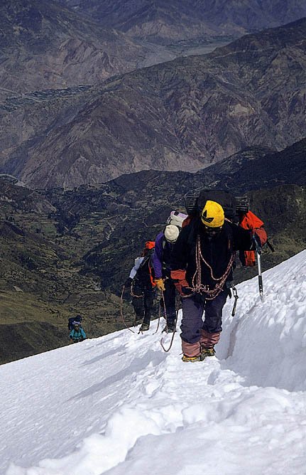
While it is possible to imagine such difficulties, our ascents during the dry season have been less severe. In addition to the normal climbing and camping equipment we initially carried approximately 350 lbs. of weather station equipment to the summit, including ice drills and satellite transmitters. Our subsequent ascents have required replacement equipment, plus camping equipment to remain on top several days. The efforts of Bolivian porters, organized and led by Carlos Escobar of Nuevos Horizontes, have been invaluable.
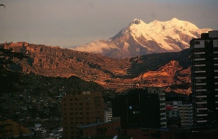
Nevado Illimani (6458 m) is the highest peak in the Cordillera Real, a massive mountain with three summits over 20,000 feet, visible from hundreds of miles out on the altiplano to the west and from far out into the Amazon Basin on the east.
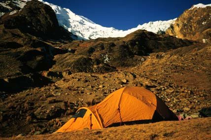
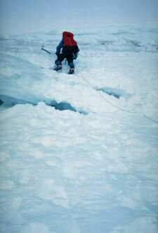
Basecamp for Illimani is usually established at 14,800 feet (4,500 m). The standard route to the summit is the steep southwest buttress. The route is broken by a series of large crevasses, requiring the use of snow bridges and ice ramps whenever possible. A steep 45 degree ice face leads up to the exposed summit ridge and the summit.
![]()
| Return to UMass Bolivia |  |
Climate & Snow Home Page |
Document maintained by Doug Hardy (dhardy@geo.umass.edu)
Last updated: 5 October 1998
http://www.geo.umass.edu/climate/bolivia/climbing.html