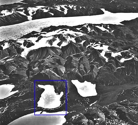

Oblique aerial view of Lake C2 and the watershed, east of Taconite Inlet. Lakes and Inlet are ice-covered exept for small moats visible. EMR aerial photograph T409 L-9 (1959).
Click inside the blue rectangle to view a topographic map of the Lake C2 watershed.